April 17, 2025
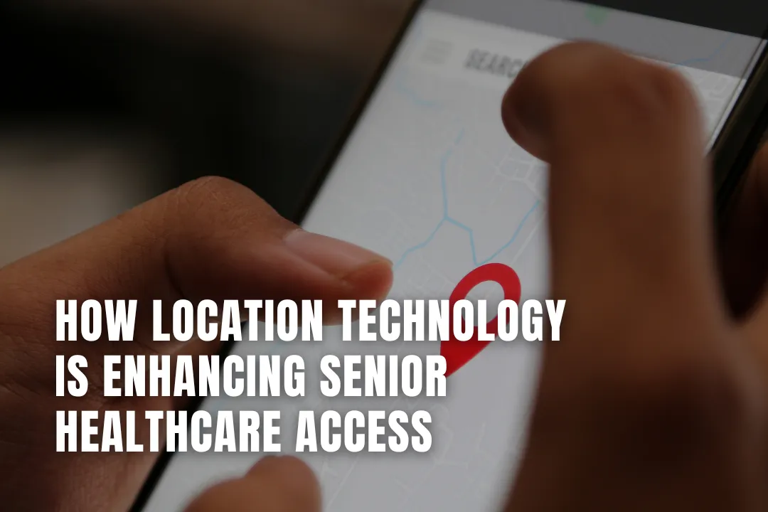
Location technology is transforming senior healthcare by making it easier to find providers, schedule appointments, and access timely support. This article explores how tech innovations are improving care coordination and Medicare-related decision-making for older adults.
For aging Americans, getting the right care at the right time can make a meaningful difference in health outcomes. Whether it's selecting a doctor, scheduling appointments, or choosing a Medigap plan to fill the gaps in Original Medicare, access and timing are crucial. As the senior population continues to grow, both healthcare providers and families are turning to technology to help aging adults connect with care more efficiently.


Some of the most powerful tools are location-based technologies, such as the Global Positioning System (GPS), geofencing, and mobile mapping, which are quietly reshaping how older adults manage and receive healthcare. Here are nine ways these tools are being utilized today, along with fictional examples to demonstrate their impact. Visit https://boomerbenefits.com/choosing-a-medicare-supplement-plan-in-2025/ for the tools to find the right Medigap coverage.
One major hurdle for seniors, especially those with mobility limitations, is simply getting to their medical appointments. GPS-enabled ride services can help reduce missed visits by tracking vehicles in real time.
Example: Maria's dialysis transport is running late. The clinic receives automatic updates indicating a 15-minute delay, reschedules her appointment and notifies Maria, helping her avoid a potentially serious missed treatment.
Health systems use mapping tools to direct mobile medical units to senior-heavy communities with limited access to healthcare. As a result, more seniors receive care.
Example: Data reveals that seniors in rural Pine County lack access to heart screenings. A mobile unit parks at the community center, sending GPS alerts to nearby seniors and completing 45 screenings.
Telehealth is great – unless state laws prevent doctors from treating patients across state lines. GPS and 'geofencing' (which draws virtual boundaries) ensure patients are within where their doctors are licensed and can guide urgent cases to the proper local care if needed.
Example: Dr. Smith is licensed in California. When patient Helen joins a video call from Nevada vacation, the system detects a location mismatch and connects her with a Nevada-licensed physician.
Wearable GPS devices help seniors get timely emergency help when a fall is detected whether the fall occurs at home or far from home. A device with 'mobile mapping' sends location data to 911 and to designated loved ones at the first sign of trouble, even if the senior is unable to speak.
Example: Eleanor falls at the park. Her smartwatch detects an impact, automatically sends the location to 911, and texts her daughter: "Mom fallen at Riverside Park. Paramedics dispatched."
To help lower costs and increase seniors' accessibility to home care, some agencies use GPS to schedule and route home care visits more efficiently. The technology helps reduce missed appointments and delays.
Example: Nurse Jennifer's GPS route is optimized for eight seniors daily. Reducing driving time by 90 minutes lets her serve two additional patients previously on the waiting list.
Health tracking systems are becoming more sophisticated in monitoring location and movement patterns. An alert is sent to caretakers if a senior changes their daily routines unexpectedly or wanders outside of designated safe areas. A welfare check can prevent harm or rush medical care.
Example: Robert, with dementia, typically walks to the mailbox at 9 AM. GPS shows he hasn't left the bedroom for two days. An alert helps his daughter discover his fever.
Pharmacies can offer same-day medication delivery thanks to GPS tools. Especially for seniors who don't drive or have limited mobility, this service provides timely access to vital medications.
Example: GPS shows a delivery driver approaching Mrs. Chen's house. The pharmacy automatically texts: "Heart medication arrives in 5 minutes," preventing a missed delivery of a critical prescription.
Timely access to available emergency care can determine the outcome of a medical event. Location-based apps factor in insurance, wait times, and care needs when indicating nearby doctors, hospitals, or urgent care clinics.
Example: David experiences chest pain while visiting his grandchildren. His health app identifies three nearby emergency rooms, displays wait times, confirms insurance coverage, and provides directions to the closest one.
Public agencies are using mapping tools to find seniors at risk during disasters. This lets them send help directly to their locations during fires, floods, or power outages.
Example: Wildfire approaches Pine Ridge. Emergency services use GPS to identify 23 seniors living alone in the evacuation zone, dispatching rescue teams directly to their homes.
Location technology is improving rapidly. Many tools are already available through Medicare-covered services or private apps, with more on the way.
As these tools evolve, they will make the entire healthcare system more responsive to people's needs, no matter their age or location. For aging adults, this could mean a future of safer, simpler, and more connected healthcare – powered by the same technology already in our pockets and on our wrists today.